March 26th, 2024 - Onward journey to Dota
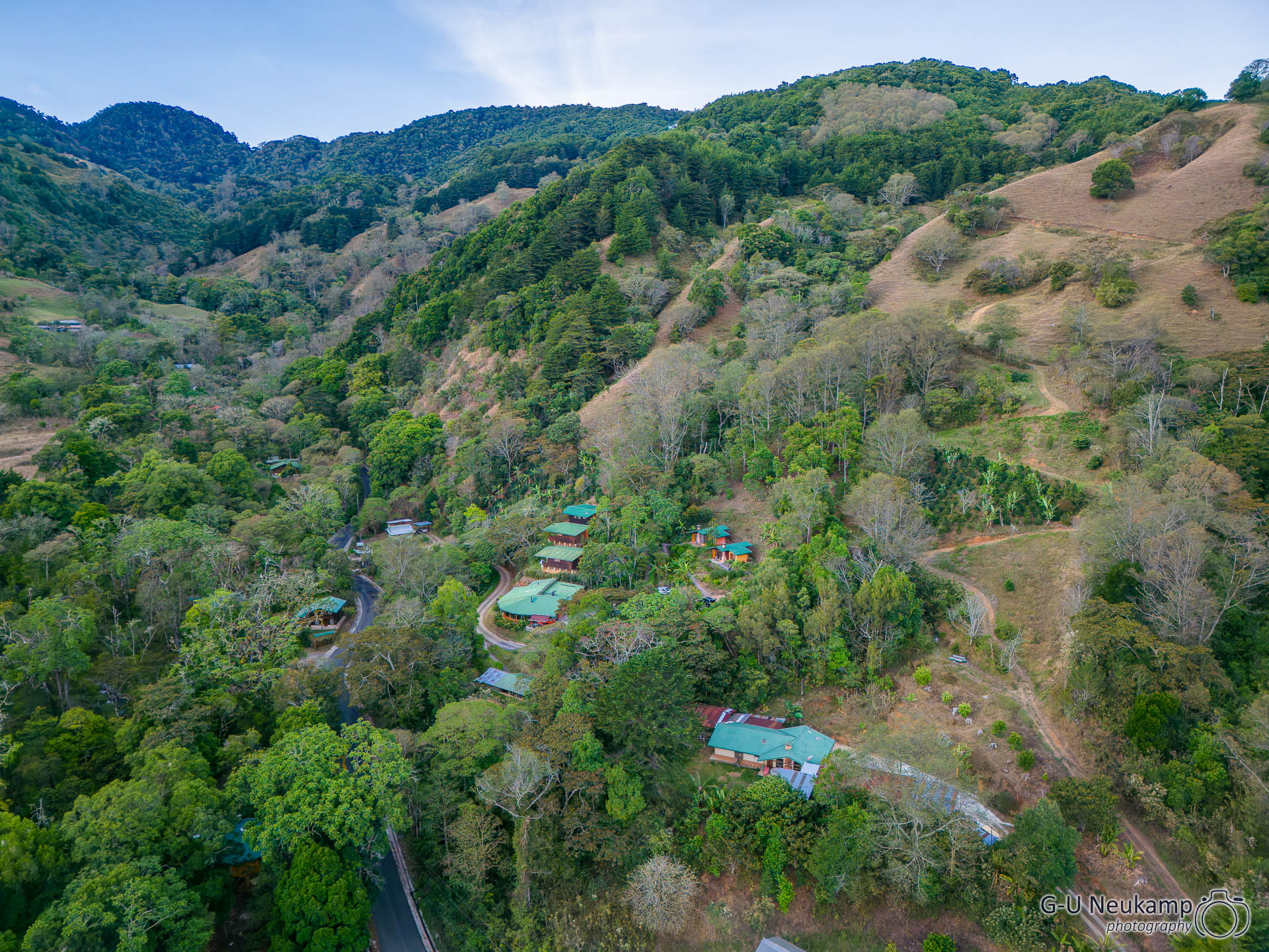
After an almost 5-hour drive - partly along winding, narrow mountain roads, partly through the capital San José - we arrived at our next location, the Toucanet Lodge in Dota.
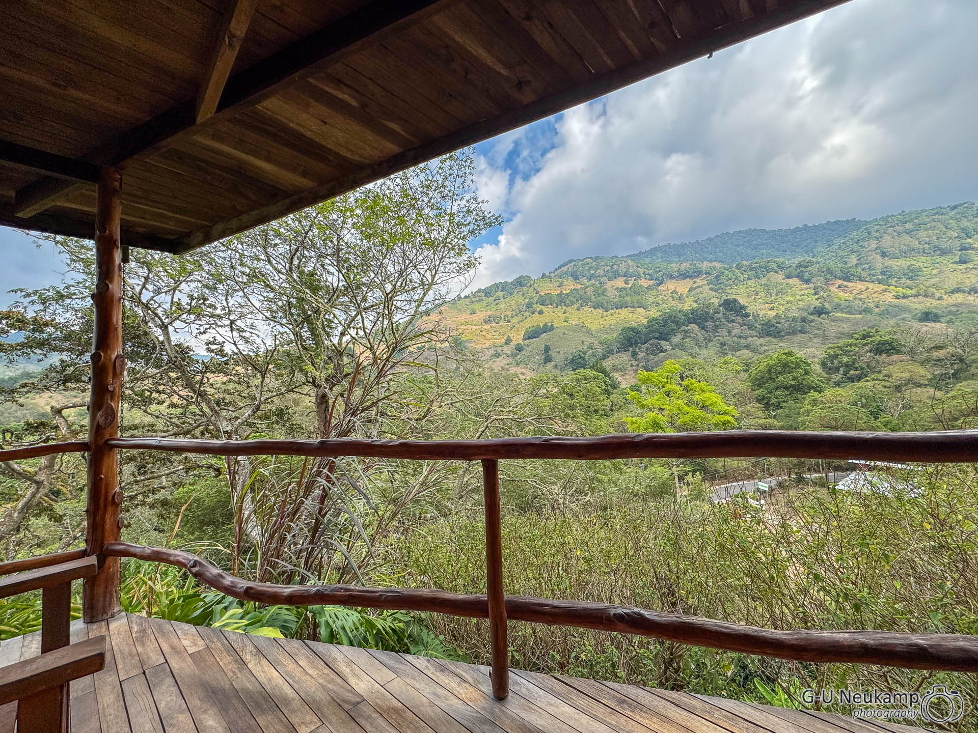
Dota is a high-altitude, sparsely populated region southwest of San José. It is located at an average altitude of 1874m and had a population of just under 7,000 in 2011 in an area of around 400 km². Our lodge is located at an altitude of 1944m, which we immediately noticed when unloading our luggage, as we were quickly out of breath.
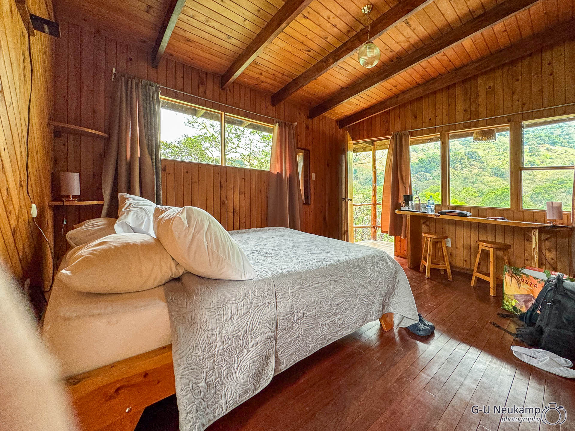
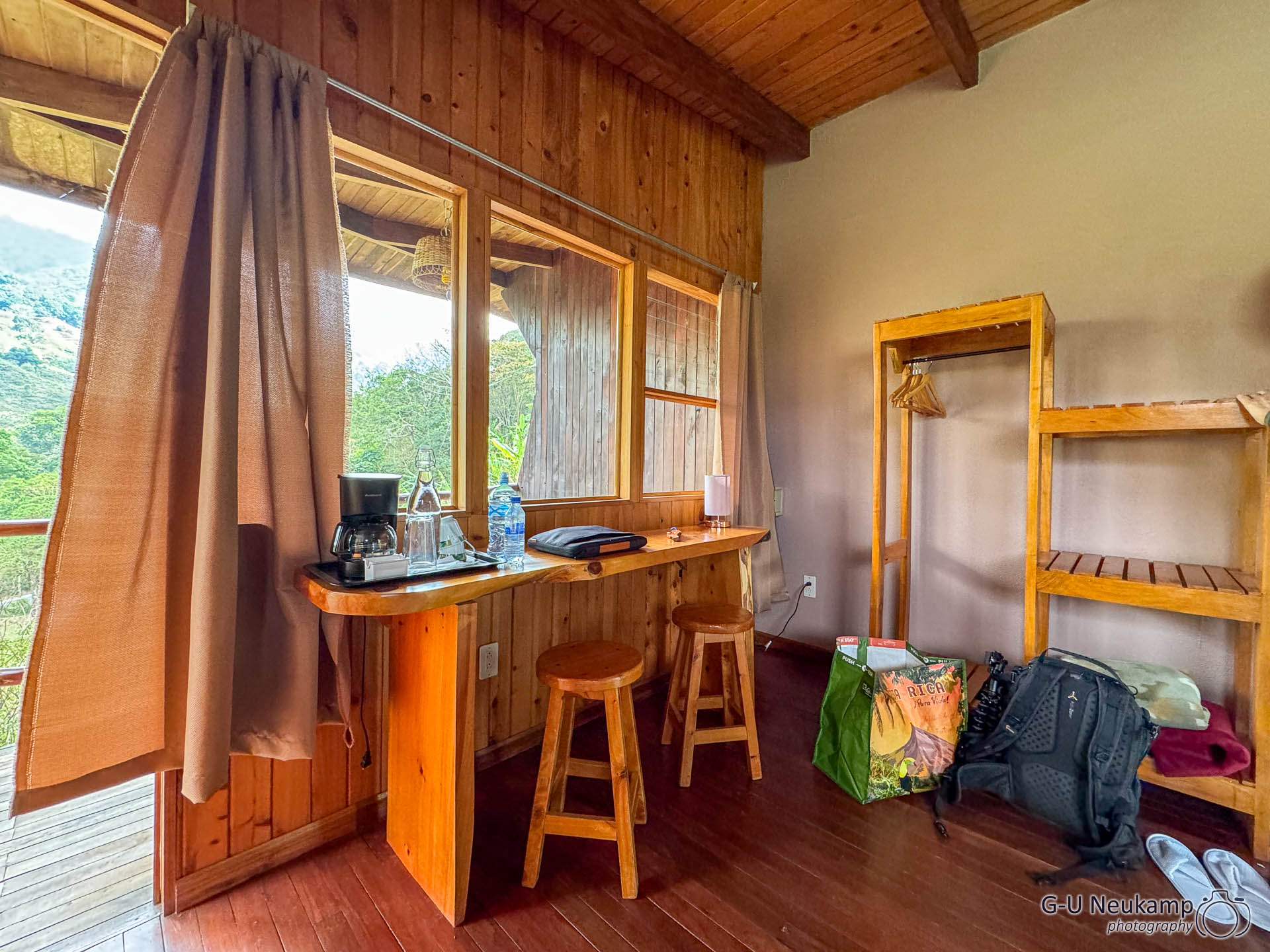
The lodge was much more ‘rural’, our casita #5 had the charme of a hunting hut.
The main destination was the “Vueltas Hill Biological Reserve” national park, a rainforest area where the colorful quetzal can be seen again.
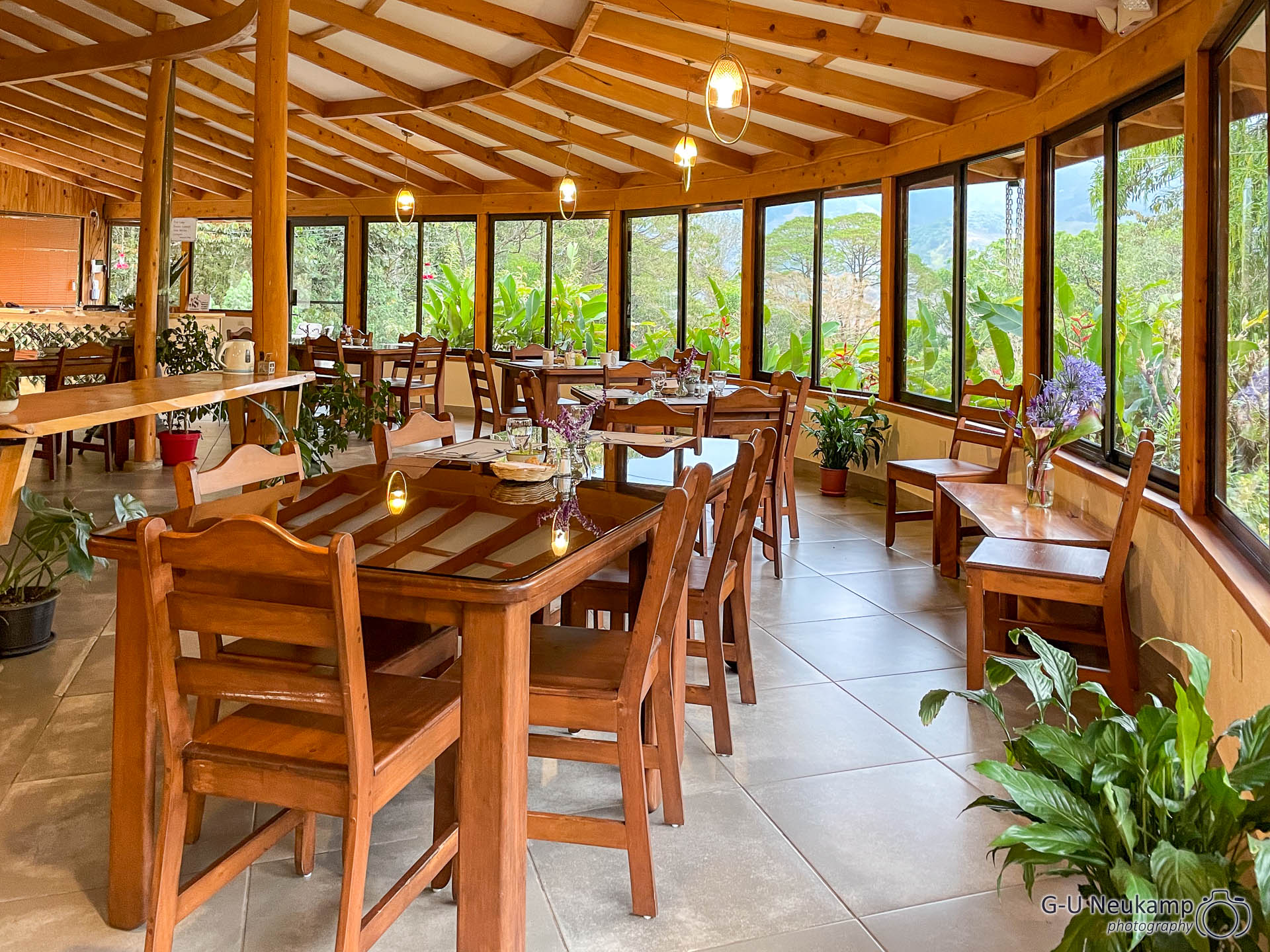
After unloading our luggage and setting up in our casita, we met in the lodge’s restaurant for a drink and then dinner.
We made an appointment with a local guide there for the following morning. He will pick us up tomorrow at around 5:30 am. This trip really isn’t for late risers - but we’re already used to that from our African safaris.
March 27th, 2024
This morning our alarm clock rang again at 5:00 am. At 5:30 we had an appointment with Eladio, an experienced local guide, who picked us up on time with his car. He stopped just a few hundred meters from our lodge and showed us a nesting hole in a tree, to which the first quetzal actually flew a little later. Unfortunately, it was still too dark to take any good photos. During the 3-hour tour, however, we spotted several more of these beautiful birds and managed to take some presentable photos. Here are two of them:


We then tried to find quetzals on our own. The national park “Los Quetzales”, about 50 km away, sounded promising, but it was probably only called that because it had to be called something and there are quetzals in the area.
There were 2 trails there, which we walked almost all the way along. However, we didn’t see the eponymous animal and hardly anything else, apart from a lot of jungle. Without an experienced guide, you don’t really have any chance.
However, the trip there and back was very interesting in itself, as it took us a long way along the Carretera interamericana, a section of the famous Panamericana.
The Panamericana, probably one of the most famous roads in the world, runs from Alaska in the north to the southernmost tip of the American continent in Tierra del Fuego. The total length of the Panamericana is around 25,000 kilometers, passing through 14 countries.
The Carretera interamericana is the Mexican and Central American section of the Panamerica. It stretches over 5,470 km between Nuevo Laredo in Mexico and the city of Yaviza in Panama. Construction of the road began in the 1930s. The first section, which was completed in 1936, was 1,205 km long and connected Nuevo Laredo with Mexico City. The second section, which ended in Panama, was inaugurated in April of the same year. The highpoint, in the truest sense of the word, of this spectacular route with altitudes of well over 3,000 m and magnificent views is here in Costa Rica.
The Carretera interamericana reaches its highest point at the Cerro de la Muerte pass. The road runs at an altitude of more than 3,300 meters, significantly higher than the highest mountain of Germany, the Zugspitze. Nevertheless, there was still plenty of green vegetation and trees at this altitude. The Cerro de la Muerte (“Hill of Death”) is 3491 meters high.
The mountain’s creepy name refers to the difficulties of crossing the pass in the past. The mountain could only be crossed from the Valle Central in a three to four-day hike on foot or on horseback. Many poorly prepared travelers succumbed to the unaccustomed cold.
As the Cerro de la muerte was only a few kilometers from the Quetzales Park, we didn’t want to miss out on this real “highlight” and drove there. Unfortunately, the weather and therefore the visibility was not very good.
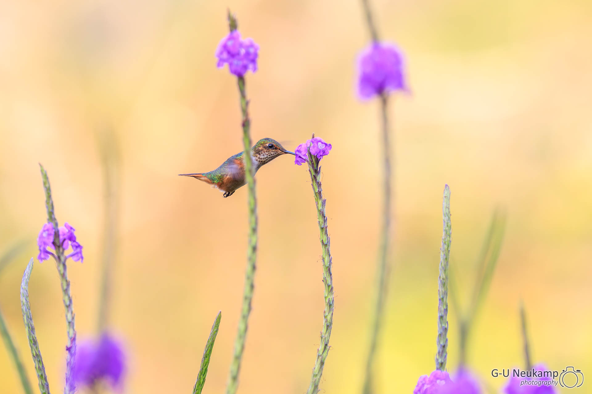
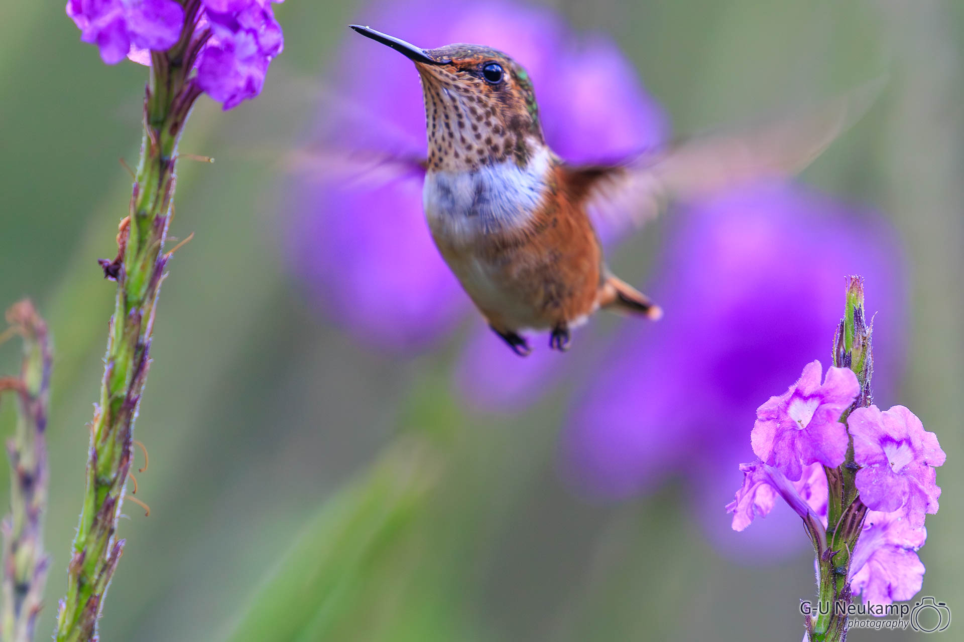
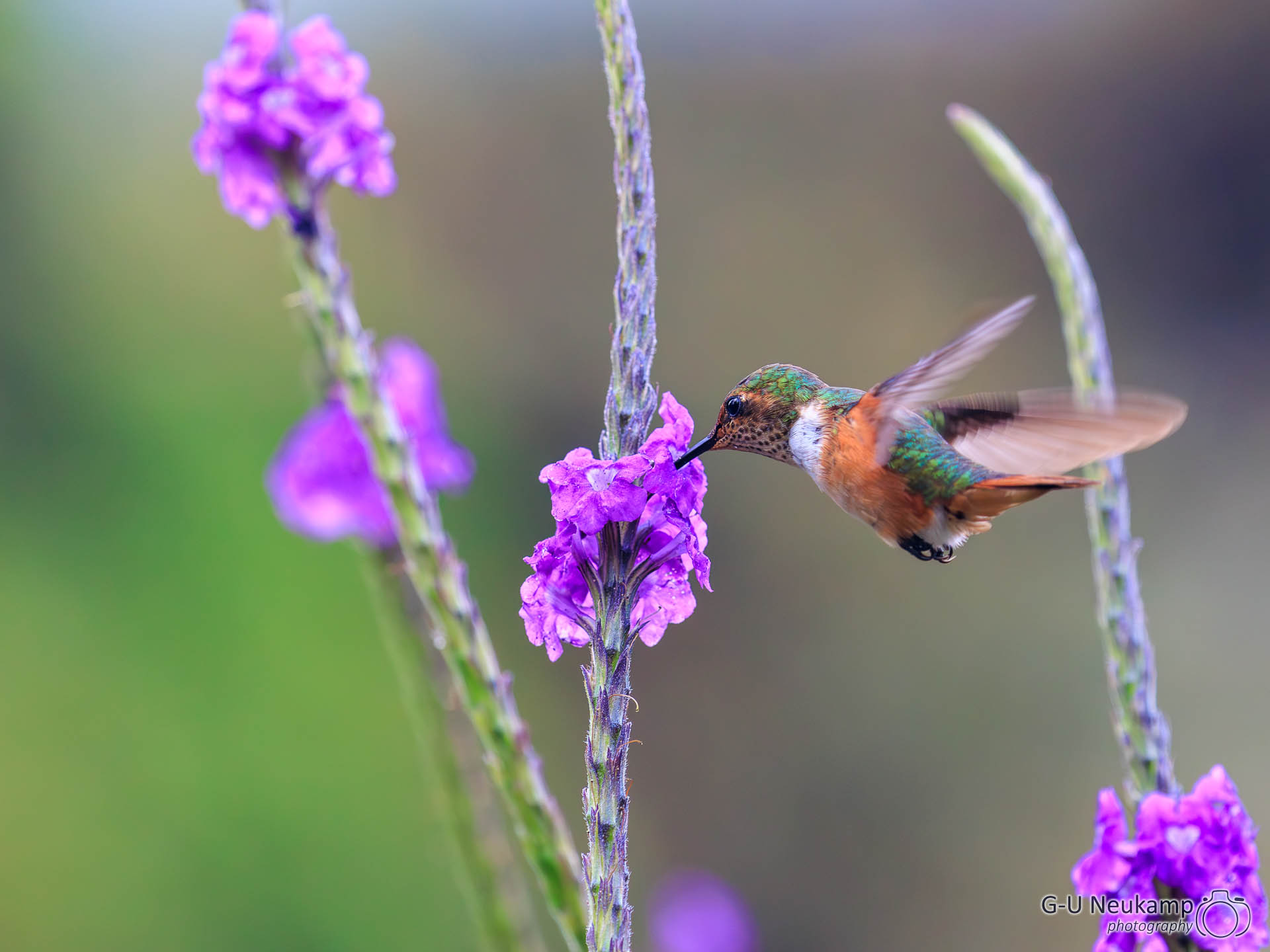
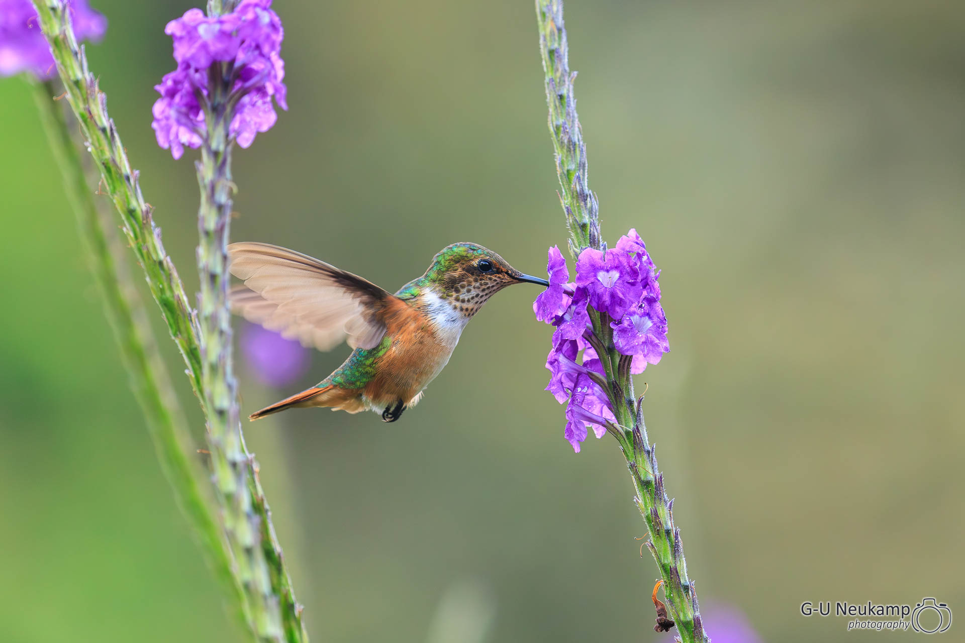
Back at our lodge, we sat down on the terrace and photographed more hummingbirds busily sucking nectar from the surrounding flowers:


After another excellent dinner in the lodge restaurant, we booked another guide for the next day.
March 28th, 2024
Today we set off again early in the morning with a new guide, Oskar, to look for quetzals. Funnily enough, he led us back to the same nesting hole we had been to yesterday.
Unfortunately the tour was not so productive this time, in the end I only took a single picture of the male in the backlight during the 2 1/2 hour observation, which turned out quite nice after extensive post-processing:

I love the high dynamic range of my Canon EOS R5. With analog film, a shot like this would never have been possible.
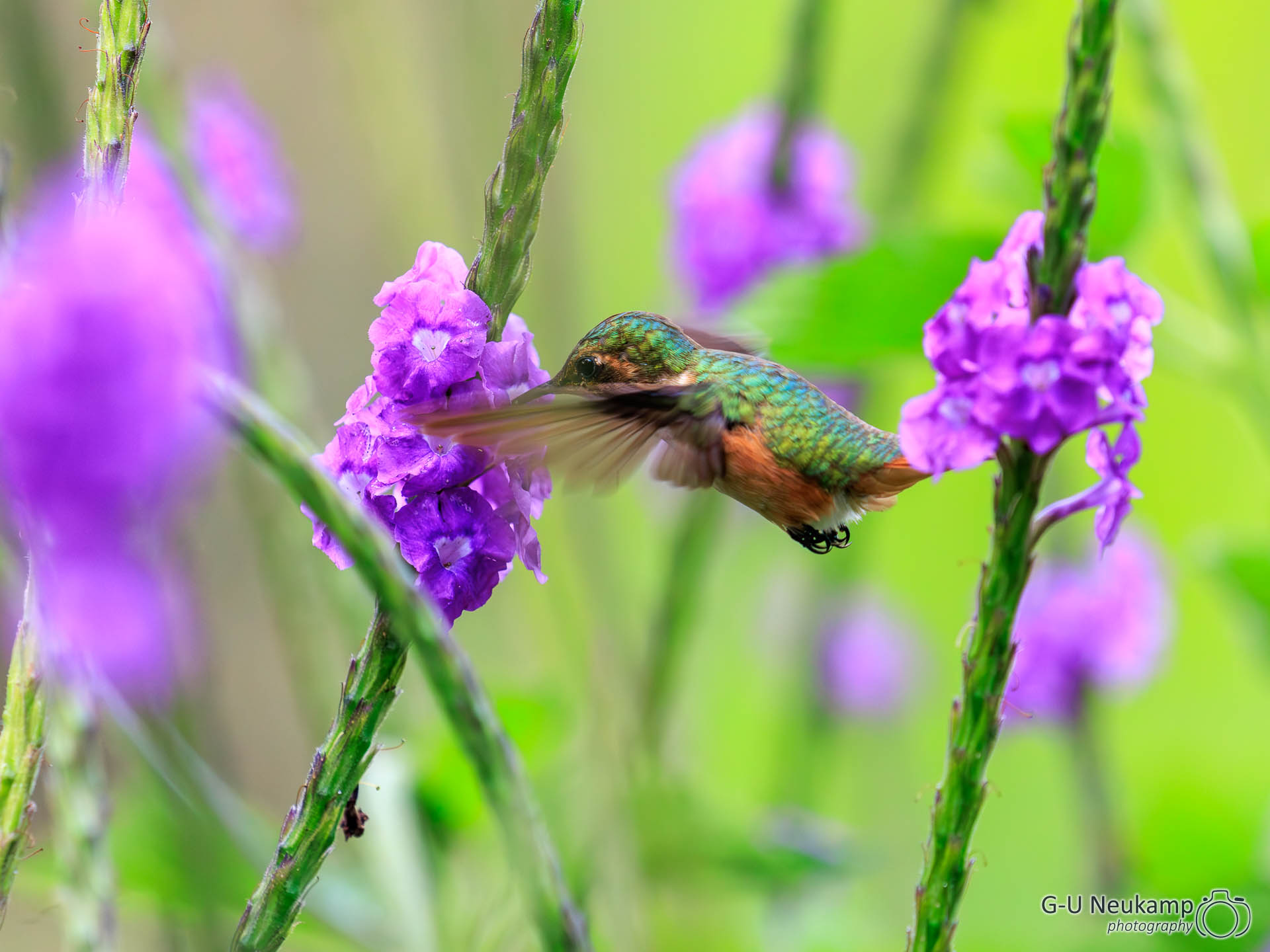
We spent the afternoon more intensively with the hummingbirds in the lodge garden, here are some of the results:
After another delicious dinner in the lodge’s restaurant, we prepared for our onward journey tomorrow.